|
 |
 |
 |
 |
 |
ULTRAWIDE IN-PLANE SWITCHING (IPS) 15-INCH DISPLAY FITS A VARIETY OF HELM LAYOUTS, INCLUDING “FLOATING DISPLAY” CONFIGURATIONS |
CONNECT TO COMPATIBLE THIRD-PARTY DEVICES WITH DIGITAL SWITCHING AND ONEHELM™ INTEGRATIONS |
EASILY BUILD YOUR MARINE SYSTEM BY USING OUR ADVANCED NETWORK CONNECTIVITY. |
NAVIGATE WATERS CONFIDENTLY WITH SUPPORT FOR GARMIN NAVIONICS+™ AND GARMIN NAVIONICS VISION+™ CHARTS |
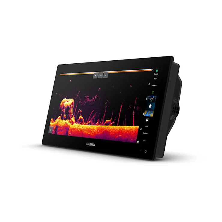
SEE BELOW YOUR BOAT WITH BUILT-IN SONAR CAPABILITIES |
MANAGE YOUR MARINE EXPERIENCE FROM NEARLY ANYWHERE1 |
|
|
|
|
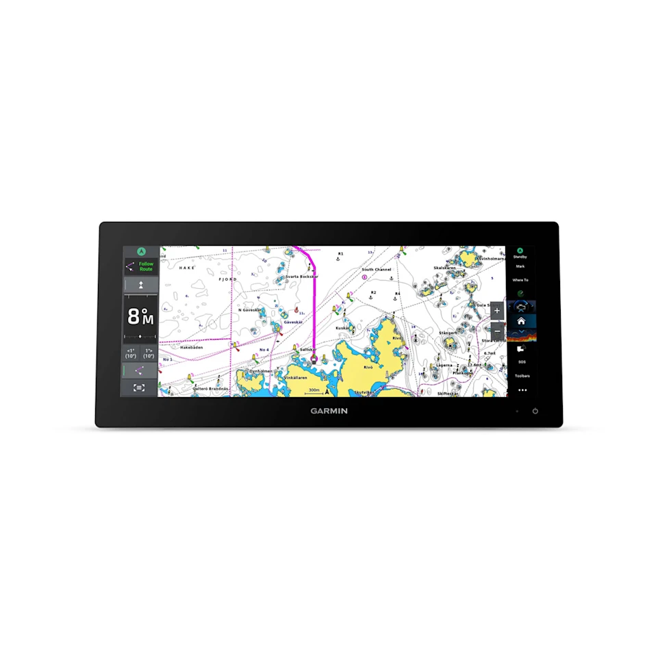
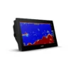
SLEEK MODERN DESIGNOffering a stunning display, with minimal trim borders and edge-to-edge glass, the GPSMAP 15×3 chartplotter features an ultrawide, high-resolution touchscreen interface with the familiar, easy-to-use functionality of our existing GPSMAP x3 series chartplotters. |
BRIGHT AND CLEAR OPTICSThis versatile chartplotter’s ultrawide IPS display provides wider viewing angles, accurate colours, superior clarity and sunlight readability — even with polarised sunglasses. |
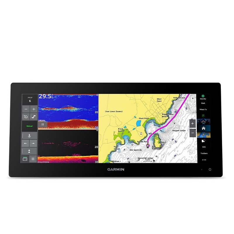
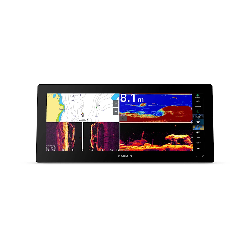
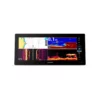
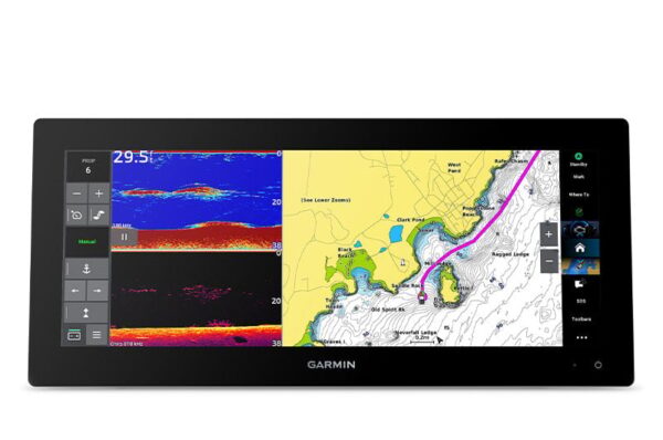
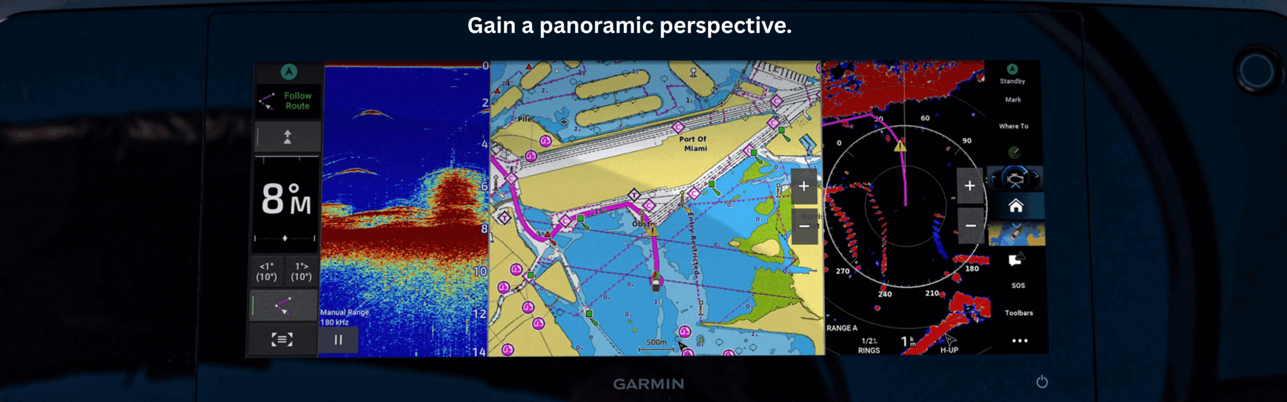
SPLIT TO FITExperience the benefits of dual screens with the convenience of seamless control. Split-screen functionality lets you size and organise your display configuration to put the data you need right where you want it. |
|
|
||
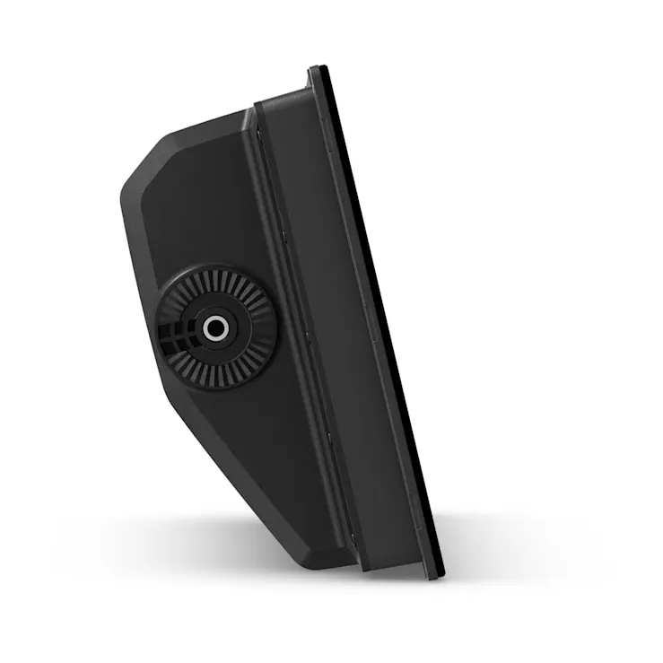
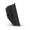
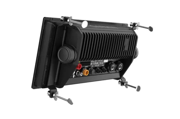
TWO MOUNTING OPTIONSA bail-mount option with inset knobs and a bracket supports unique “floating display” installations (sold separately), while a rear-mount option is provided for secure flush- and flat-mount helm solutions. |

|
|
|
|
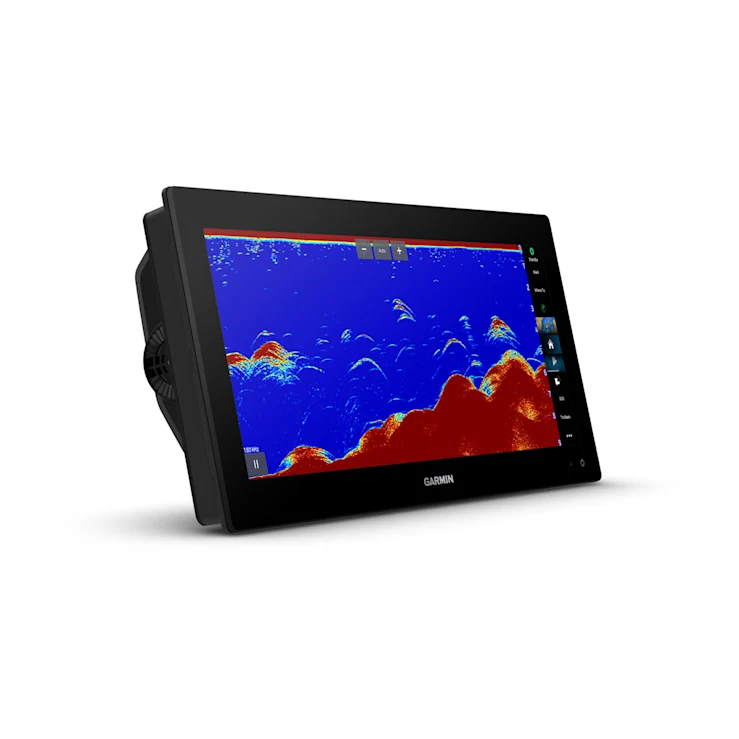
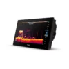
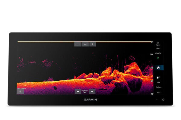
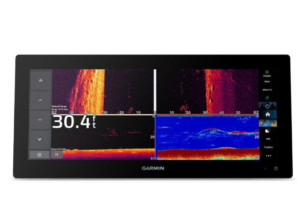
TRADITIONAL AND SCANNING SONAR SUPPORTGet built-in support for 1 kW CHIRP traditional sonar for superior target separation. Plus, Ultra High-Definition ClearVü™ and SideVü™ scanning sonars feature vivid, high-contrast colour palettes to help distinguish fish from structure (transducer required – sold separately). |
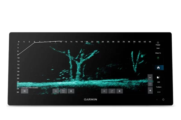
PANOPTIX™ SONAR SUPPORTPair with Panoptix™ or LiveScope™ easy-to-interpret live sonar (transducer required – sold separately) to see all around your boat in real time. |

|
|
|
|
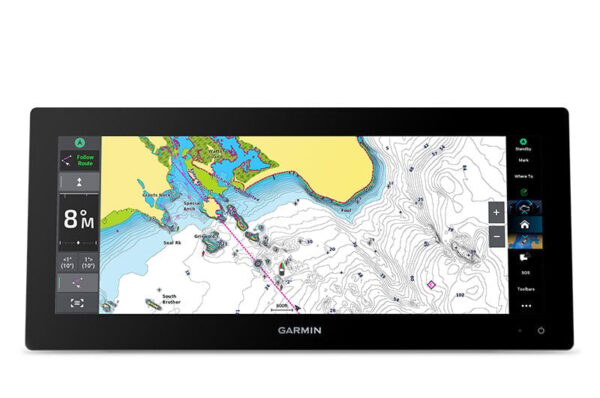
MAPPINGNavigate with optional Garmin Navionics+™ charts that include Auto Guidance+™ technology2 , daily updates and more (subscription required). |
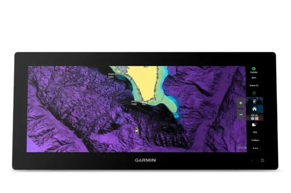
PREMIUM CHARTSGet support for Garmin Navionics Vision+™ charts with premium relief shading and satellite imagery. |
|
|
|
|
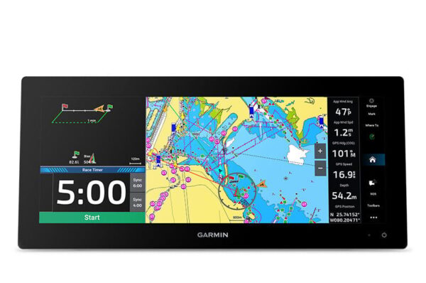
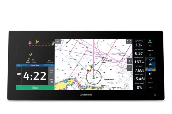
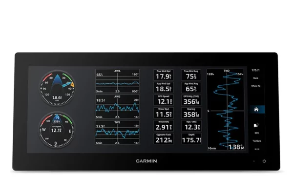
GARMIN SAILASSIST™ SAILING FEATURESView laylines, race start line guidance, enhanced wind rose, heading and course-over-ground lines, true wind data fields and tide/current/time slider, wind angle, set and drift, wind speed and more. |
SAILING POLARSUse the polar table to see key data, including how fast you should go at a certain wind angle and speed — so you know whether you need to adjust sail trim. |
GARMIN MARINE NETWORKIf you have multiple compatible Garmin devices on your boat, you can share information — such as maps, user data, radar and IP camera video — among them. |
|
|
|
|
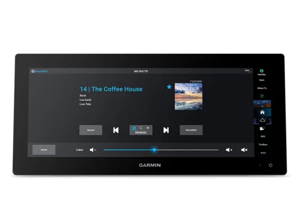
NMEA 2000® AND NMEA 0183 NETWORKSConnect to compatible autopilots, digital switching, weather, the Fusion® audio system, media, VHF, AIS and more from one screen. |
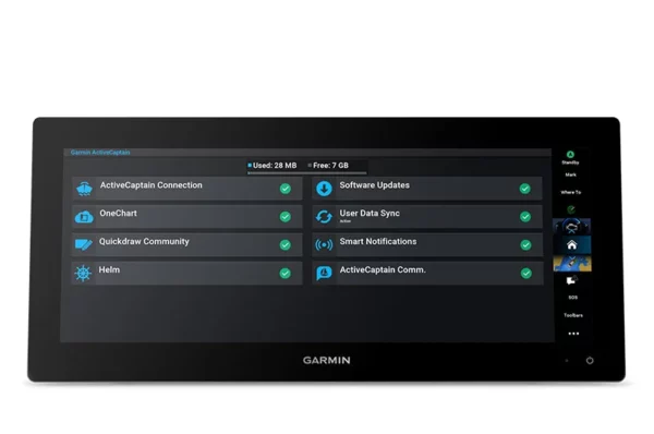
ACTIVECAPTAIN® APPBuilt-in Wi-Fi® connectivity pairs with the free all-in-one mobile app for access to the OneChart™ feature, smart notifications (when paired with your smartphone), software updates, Helm™ app, Garmin Quickdraw™ Community data and more1. |
INTEGRATED ANT® TECHNOLOGYConnect with some of your favorite devices, such as quatix® marine watches, gWind™ Wireless 2 transducers, GNX™ Wind marine instruments and wireless remote controls. |
|
|
|
|
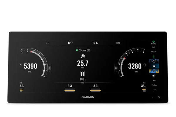
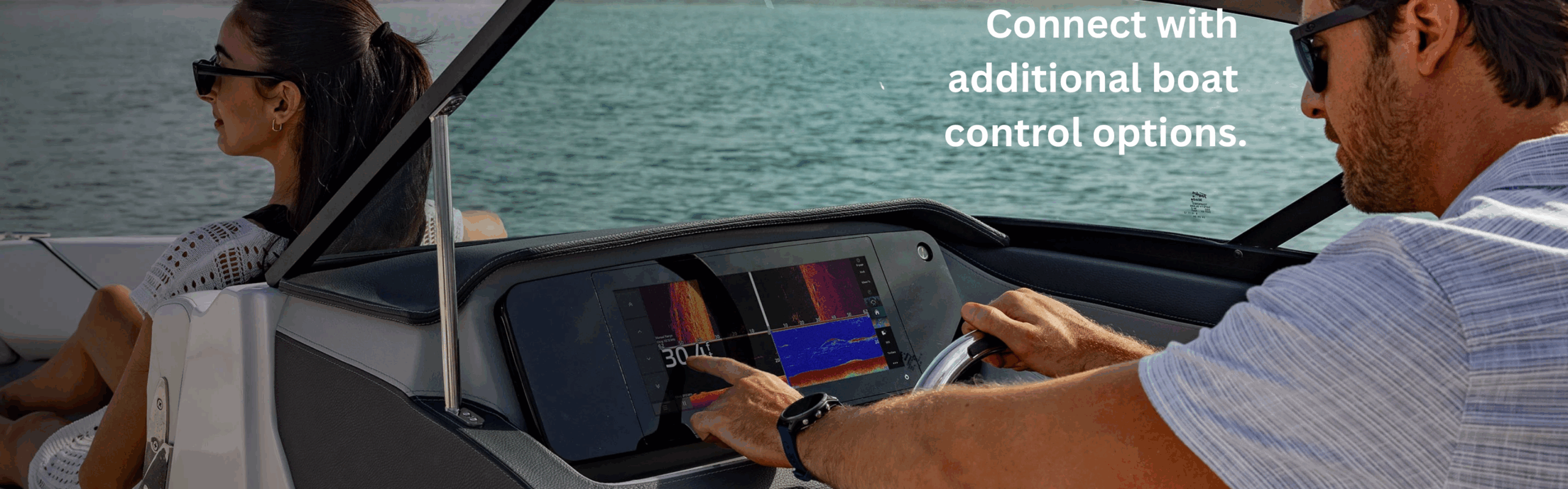
ENGINE CONNECTIVITYYou can connect your chartplotter to different engines, including select Yamaha® and Mercury® engines. |
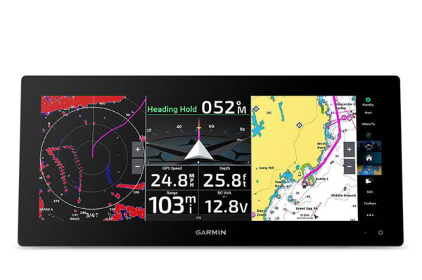
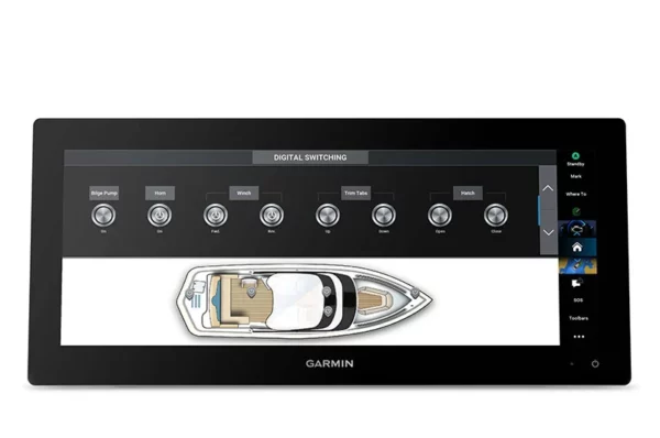
ONEHELM FEATUREThis feature brings together all of the operations and capabilities of EmpirBus™ digital switching and other third-party devices on one screen. |
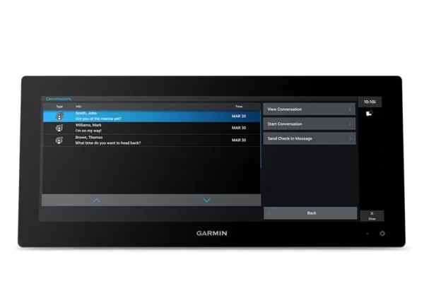
SEND INREACH® DEVICE MESSAGESPair your inReach satellite communicator3 to your chartplotter, and type custom messages by using your MFD’s on-screen keyboard. Access your contact list, or enter an email, inReach address or phone number. You can also group messages by conversation for a texting-like experience. |
|
|
|
POWER-POLE® SHALLOW WATER ANCHORBy networking the GPSMAP 15×3 chartplotter with your Force® trolling motor and your compatible Power-Pole shallow water anchoring system, you can access advanced boat control features4 from your plotter, including smart anchor auto-deployment, smart anchor jog, auto stow, anchor drag detection and end-of-route anchoring. Spend more time fishing, less time positioning. |
TROLLING MOTOR INTEGRATIONGet support and integration for your Force series trolling motor (sold separately) to gain more control while you fish. |
General |
|
| Dimension | 388.9 x 178.5 x 82.9 mm (15.3″ x 7.02″ x 3.3″) |
| Weight | 3.26 kg (7.2 lbs) |
| Water rating | IPX7 |
| Touchscreen | Yes |
| Display Type | Ultrawide display, IPS |
| Display Size | 34.6 x 12.9 cm; 36.8 cm diagonal (13.6″ x 5.1″; 14.5″ diagonal) |
| Display Resolution | 1920 x 720 pixels |
| Mounting Options | Bail, flush or flat (Garmin does not offer any hardware or accessories for a flat-mount installation. Professional tools and knowledge is required.) |
| Polarised Lens Viewability | Yes |
Maps & memory |
|
| Accepts Data Cards | 2 microSD™ cards (back of device) |
| Compatible with Garmin SD card reader | Yes (USB card reader) |
| Waypoints | 5000 |
| Track points | 50,000 |
| Tracks | 50 saved tracks |
| Navigation Routes | 100 |
Sensors |
|
| GPS | Yes |
| GLONASS | Yes |
| Galileo | Yes |
| Has built-in receiver | Yes |
| Receiver | 10 Hz |
| NMEA 2000® compatible | Yes |
| NMEA 0183 Compatible | Yes |
| Supports WAAS | Yes |
| Supports multi-band, multi-constellation GPS | Yes (with external GPS antenna) |
Optional map support |
|
| BlueChart g3 | Yes |
| BlueChart g3 Vision | Yes |
| Garmin Navionics+™ | Yes |
| Garmin Navionics Vision+™ | Yes |
| Standard Mapping | Yes |
| Garmin Quickdraw Contours | Yes |
Chartplotter features |
|
| Garmin SmartMode compatible (customisable monitor presets) | Yes |
| AIS | Yes |
| DSC | Yes |
| Supports Fusion-Link™ compatible radios | Yes |
| GSD Black Box Sonar Support | Yes |
| GCV Black Box Sonar Support | Yes |
| ActiveCaptain Mobile Planning Compatible | Yes |
| Supports Voice Commands | Yes (with external accessory) |
| GRID (Garmin Remote Input Device) compatible | Yes |
| Wireless Remote Compatible | Yes |
| Sailing features | Yes |
| Spoken audio alerts | Yes |
| OneHelm support | Yes |
Electrical features |
|
| POWER INPUT | 10 to 32 Vdc |
| Typical current draw at 12 Vdc | 2.44 A |
| Maximum current draw at 12 Vdc | 4.21 A |
| Maximum power usage at 10 Vdc | 56.93 W |
Sonar features & specifications |
|
| Displays sonar | Yes |
| Power output | 1 kW |
| Traditional sonar (dual frequency/beam) | Yes |
| ClearVü | Yes |
| SideVü | Yes |
| Panoptix™ sonar | Yes |
| LiveScope | Yes |
Connections |
|
| NMEA 2000® ports | 1 |
| NMEA 0183 Input (Rx) Ports | 1 |
| NMEA 0183 output (Tx) ports | 1 |
| Video input ports | 1 (BNC composite) |
| J1939 ports | 1 |
| Garmin Marine Network Ports | 2 |
| 12-pin transducer ports | 1 |
| USB ports | Yes |
| Bluetooth® calling | Yes (BLE) |
| ANT® (Connectivity) | Yes |
| Garmin Wi-Fi network (local connection) | Yes |