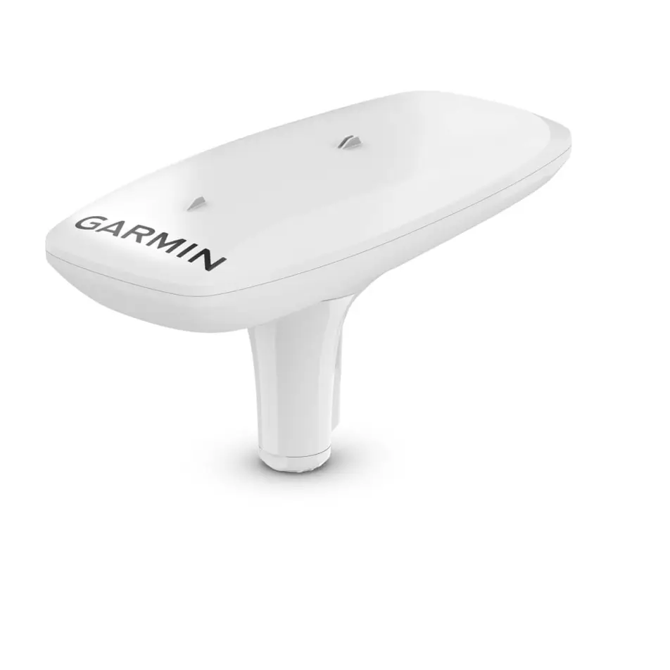
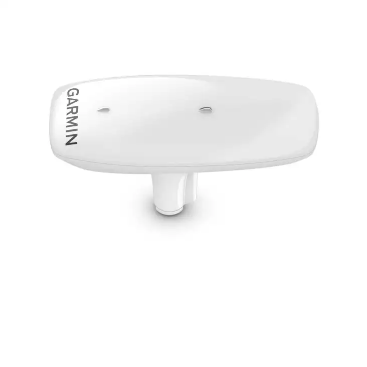
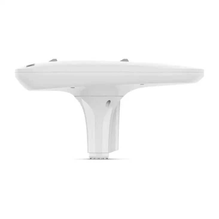
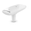
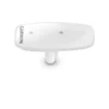
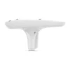
Get reliable, accurate heading information with the easy-to-install GPS-based MSC™ 10 Marine Satellite Compass.
 |
 |
 |
 |
| Accuracy comes easy when you’ve got a multi-band GNSS receiver on board. |
Faster updates. More detailed tracking. |
Rough waters got you worried? MSC 10 delivers pitch, roll and heave info, too. |
If other onboard systems need a heading sensor, we’ve got you covered. |

MULTI-BAND GNSS AND MULTI-CONSTELLATIONThe multi-band GNSS (L1 and L5 GPS) and multi-constellation (GPS, Galileo, GLONASS and BeiDou) receiver delivers precise positioning1. |
BOAT HEAVE AND MOREGet reliable, accurate boat heave, pitch and roll information — even in rough waters. |
BUILT-IN ATTITUDE HEADING REFERENCE SYSTEM (AHRS)With a fully integrated attitude and heading reference system for better GPS heading at all speeds, including pitching in rough seas, taking sharp turns or standing still. |
ACCURATE HEADING DATAMultiple receivers deliver heading accuracy within 2 degrees. Because it uses satellite signals, you don’t have to worry about magnetic interference. |
PRIMARY SENSOR ACROSS MULTIPLE SYSTEMSYou can use MSC 10 as the primary sensor for autopilots and other onboard systems that need accurate heading information. |
NMEA 2000® NETWORK COMPATIBLEGet heading, pitch, heel and heave information delivered straight to your compatible Garmin chartplotter via the NMEA 2000 network. |

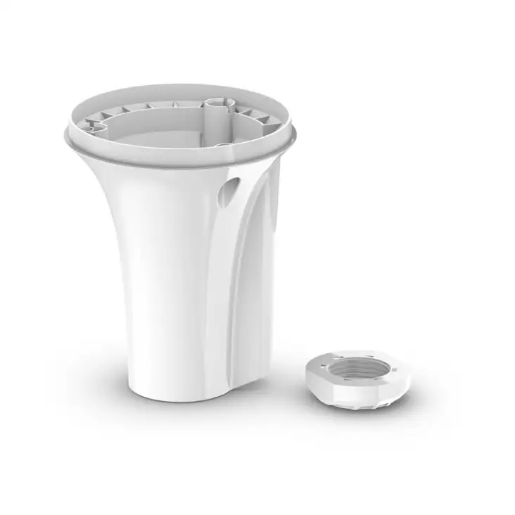
EASY TO INSTALLThis compact device is simple to install and easily integrates into your Garmin marine ecosystem. |
10 HZ UPDATE RATEGet better, more detailed tracking information, thanks to the 10 Hz position update rate. |
BACKUP HEADING SENSORIn the extremely rare case that you lose satellite signal, MSC 10 will seamlessly transition from GPS-based to magnetometer-based heading2. |