
This is map two in our three-map series of Table Mountain National Park
Now with DEM relief shading, this BRAND NEW edition includes all the latest changes to the area. The highly detailed maps show all approved paths and include full GPS information; with Silvermine on one side and Hout Bay and Constantiaberg on the reverse, includes the Hoerikwaggo Trail and now includes highly detailed info for MOUNTAIN BIKERS!
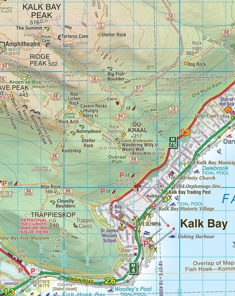
The Silvermine side covers the Silvermine Reserve and the area from Constantiaberg toTokai, Zandvlei, Kalkbay, the Fish Hoek valley, Ou Kaapseweg and Noordhoek/Chapman’s Peak.
The Hout Bay side includes Hout Bay itself, Karbonkelberg, Llandudno, Constantia Nek and south to the Silvermine Reservoir.
The map also includes:
Silvermine and Hout Bay areas of the Cape Peninsula at 1:20,000 on a double-sided map printed on laminated and tear‑resistant synthetic paper.
The title is part of a series of high quality, detailed walking maps from Slingsby Maps, with excellent cartog- raphy and plenty of tourist information.
Contour lines are drawn at 10m intervals with additional altitude colouring. Roads indicate restricted access. Footpaths are highlighted and show waymarked routes and sections not recommended or dangerous. Symbols indicate information for visitors to the area: car parks, view points, signposts, public toilets, picnic areas, places of interest, recreational and sport facilities, etc. Both UTM grid lines at 200m and latitude/longitude lines at 1’ intervals are drawn across the map and GPS waypoints are provided for important road junctions, etc.

| Weight | 40 g |
| Dimensions | 22.5 × 15.5 × 1 cm |
| ISBN | 978-1-920377-52-6 |
| Countries | South Africa |
| Edition | 6 |
| Publication Date | 2023 |
| Product Type | Folded Laminated Hiking Map |
| Location | Western Cape, South Africa |
| Scale | 1:20,000 |
| Printing, Size & Binding | A2 |
