R250.00 incl. VAT
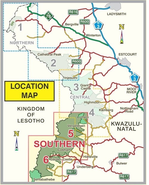
This double-sided map, the third in the Slingsby Drakensberg series, covers Lotheni to Cobham on Side One, and then continues south through the Mzimkhulu Wilderness to Garden Castle, Bushman’s Nek, and the Sehlabathebe National Park on Side Two.
Explore the Southern KZN Drakensberg with our Slingsby Drakensberg South Paper Map.
Side one showcases the area from Lotheni southwards. It takes you through Vergelegen and the Mkhomazi Wilderness, all the way to the iconic Sani Pass and Cobham.
Side two of the Slingsby Drakensberg South Paper Map then carries you further south through the Mzimkhulu Wilderness to Garden Castle. From there, it guides you to Bushman’s Nek and into the breathtaking Sehlabathebe National Park.
Experts collected data over many years to create this latest edition of the first-ever recreational map series of the KZN Drakensberg.
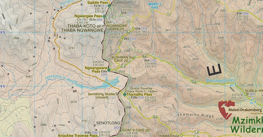
Although originally conceived in the mid-1970s, this edition now includes carefully geo-referenced tracks of all approved routes. Moreover, the Slingsby Drakensberg South Paper Map provides coordinates and elevations of path junctions, difficulty ratings for escarpment passes, and many additional features.
Because of these precise details, Slingsby maps remain unmatched for navigating and exploring the Drakensberg.
| Weight | 90.00 g |
| Dimensions | 22.5 × 15.5 × 1 cm |
| ISBN | 978-1-920377-54-0 |
| Countries | South Africa |
| Edition | 2 |
| Publication Date | 2023 |
| Product Type | Folded Waterproof Hiking Map |
| Location | Kwa-Zulu Natal, South Africa |
| Scale | 1:50,000 |
| Printing, Size & Binding | A1 |