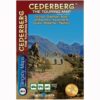
The CEDERBERG, so other worldly and yet so easily accessible from Cape Town, weaves a particular magic. These mountains are unlike any others in South Africa. The geography can be confusing but with this map you can explore the secret kloofs, ethereal rock art and majestic mountains, experiencing the magic for yourself.
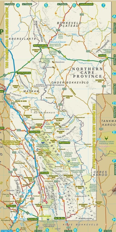
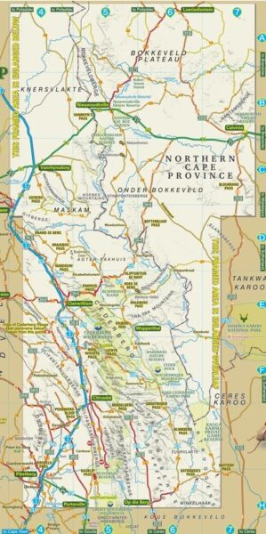
This latest edition of the map now extends northwards to the Hantam and Knersvlakte flower-fields – Vanrhynsdorp, Nieuwoudtville, Loeriesfontein and Calvinia.
Compiled from comprehensive field research – we have driven just about every road and track – this map is an essential companion to any exploration of the area. The conversations we have had with local people – farmers, shepherds, leopard researchers, archaeologists, rock art experts, botanists, climbers and hikers – have given us knowledge and insight into every aspect of this wonderful area. That’s why this map is packed with information and detail.
This is the only detailed tourist map of the Cederberg.
Water and tear resistant in plastic sleeve.
Side one of this double-sided map covers the whole of the Cederberg, from Gifberg in the north to Op die Berg in the south, and includes the towns of Clanwilliam, Citrusdal, Piketberg, Wupperthal, Porterville and Eendekuil.
Side two is an extension of the map northwards to Loeriesfontein, and including Nieuwoudtville, Calvinia, Klawer, and Vanrhynsdorp. The level of detail is the same as Side One but the scale is slightly reduced to enable the map to offer a full sweep of country, from the Knersvlakte to the Hantam and Roggeveld. This is the heart of South Africa’s spring flower wonderland.
The Cederberg region in the Western Cape Province of South Africa on a waterproof and tear-resistant, contoured and GPS compatible map, presenting the mountains at 1:160,000, with additional coverage at 1:200,000 of the Bokkeveld Plateau extends coverage further north.
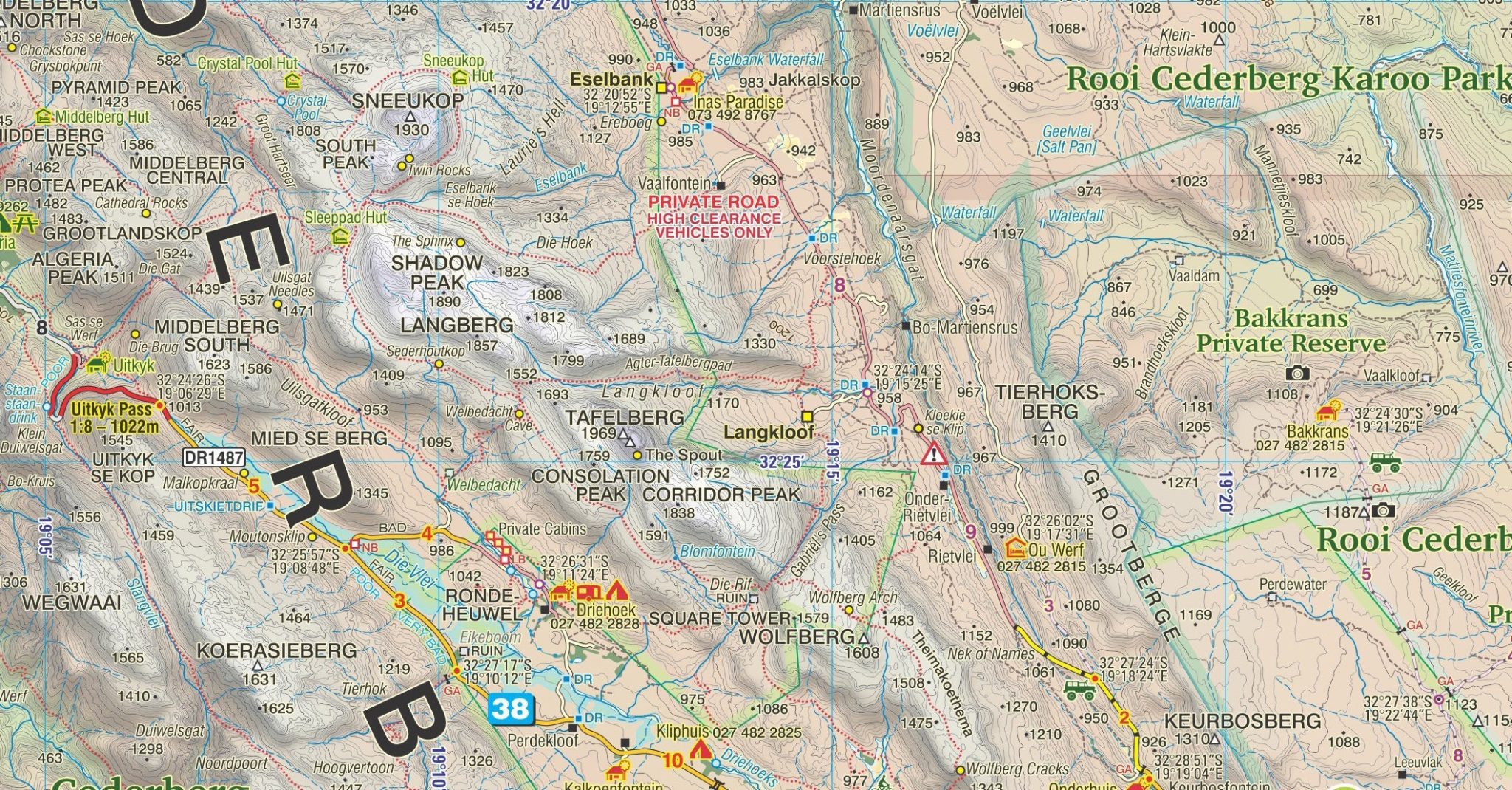
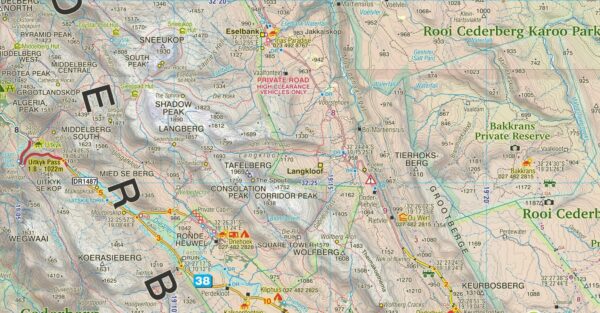
On one side the main map at 1:160,000 gives detailed presentation of the Cederberg and Koue Bokkeveld ranges, with contours at 20 m intervals, elevation colouring, and numerous spot heights. Roads are differentiated according to the type of surface, indicating private sections accessible with permits only, mountain passes, locations of petrol stations and parking areas. Symbols convey a whole range of information: accommodation (hotels, lodges, B&B, self-catering, hostels, caravan sites, campsites), numerous sport facilities (golf, horse riding, mountain biking, paragliding, climbing sites, etc), game and other animal viewing places, fossils collecting, and other place of interest. Hiking trails across the mountains are clearly highlighted. Latitude and longitude grid is drawn at 5’ intervals and numerous GPS waypoints are also provided.
On the reverse, the Bokkeveld Plateau – an area further north beyond the border of the Northern Cape Province is pre- sented with similar cartography but at 1:200,000. Coverage extends from Vanrhynsdorp to Calvinia and includes the Han- tam National Botanical Garden near Nieuwoudtville. Also provided is a more general overview road map at 1:1,500,000 showing the mountains with the coastal areas of Sandveld, indicating places of interest, etc.
| Weight | 90 g |
| Dimensions | 22 × 15.5 × 0.5 cm |
| ISBN | 978-1-77632-280-0 |
| Countries | South Africa |
| Edition | 16 |
| Publication Date | 2023 |
| Product Type | Folded Waterproof Touring Map |
| Location | Western Cape, South Africa |
| Scale | 1:160,000 & 1:200,000 |
| Printing, Size & Binding | A1 |