R395.00R360.00 incl. VAT
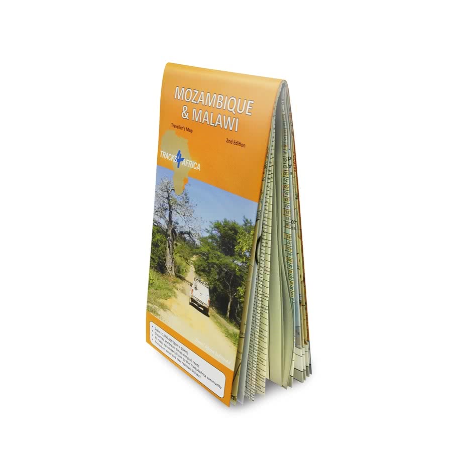
The Tracks4Africa Mozambique and Malawi paper map, now in its 3rd edition, is designed to be used in conjunction with the T4A GPS Map of Mozambique and Malawi. It is the largest available map of these two countries at 1:1,000,000 scale, offering you the perfect trip planning tool for your next Mozambican/Malawian holiday.
This T4A paper map series are probably the first comprehensive country maps in the world, offering travel time information for the entire road network, be it on tar, gravel or sand!
When unfolded this map is 1000 x 1265 mm (11 folds).
This T4A paper map series is probably the first comprehensive country maps in the world, offering travel time information for the entire road network, be it on tar, gravel or sand!
*Note: This video is of our 2nd edition
The roads, tracks, places of interest as well as the distance data and travel time estimates on the map reflect the collective travel experience of the Tracks4Africa community of travellers over the past 10 years, with every single road being GPS recorded and verified by this community.
No need to transfer GPS coordinates from the map to your GPS as everything you see on the map is contained in our T4A GPS Maps. Our maps offer the most comprehensive coverage of tourist destinations in Mozambique and Malawi. Use T4A GPS Maps to navigate you to all the destinations you see on this country map.
| Weight | 200.00 g |
| Dimensions | 29.00 × 13.00 cm |
| Publishing House | Tracks4Africa |
| Product Type | Paper Map |
| Title | Mozambique & Malawi Traveller’s Paper Map 3rd Edition |
| Countries | Malawi, Mozambique |
| Publication Date | 2025 |
| ISBN | 978-1-77632-288-6 |
| Paper Map Size | When unfolded this map is 1000×1265 mm (11 folds) |