Sale!

Description

This T4A paper map series are probably the first comprehensive country maps in the world, offering travel time information for the entire road network, be it on tar, gravel or sand!
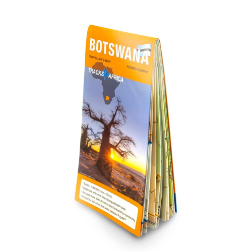
The Botswana Traveller’s Paper Map 5th Edition provides travel times for the entire road network and includes every surface type—whether tar, gravel, or sand. Therefore, as you drive across different terrains, this map continuously keeps you informed and prepared.
When unfolded this map is 1000x1265mm.
The Tracks4Africa Botswana paper map, now in its 5th edition, is designed to be used in conjunction with the T4A GPS Map of Botswana. It is the largest available Botswana map at 1:1,000,000 scale, offering you the perfect trip planning tool for your next Botswana holiday.

This T4A paper map series are probably the first comprehensive country maps in the world, offering travel time information for the entire road network, be it on tar, gravel or sand!

Key features

  • Printed on tear proof and water resistant Polyart
  • Scale 1:1,000,000 (1cm = 10km)
  • When unfolded this map is 1000x1265mm.
  • All roads have been driven by the Tracks4Africa Community
  • Map key included
  • Map index included
  • Detailed vector maps of the Okavango Delta, Mabuasehube, Savuti, Gaborone, Maun, Kasane, Khwai East and West
  • Travel information like border post red tape, camping etiquette, driving in Botswana, fuel, useful contact numbers etc.
  • Distances and travel times between towns are indicated
  • Main services indicated with icons in main towns
  • Border Controls with opening and closing times
  • Detailed maps eg. Gaborone
The roads, tracks, places of interest as well as the distance data and travel time estimates on the map reflect the collective travel experience of the Tracks4Africa community of travellers over the past 10 years, with every single road being GPS recorded and verified by this community.
No need to transfer GPS coordinates from the map to your GPS as everything you see on the map is contained in our T4A GPS Maps. Our maps offer the most comprehensive coverage of tourist destinations in Botswana. Use T4A GPS Maps to navigate you to all the destinations you see on this country map.

Additional Infomation

Weight
200.00g
Dimensions
29.00 × 13.00 cm
Product Type
Paper Map
Title
T4A Tourist Paper Map of Botswana Fifth Edition
Publishing House
Tracks4Africa
Publication
Date
2024
Countries
Botswana
ISBN
978-1-77632-282-4
Paper Map Size
When unfolded this map is 1000x1265mm